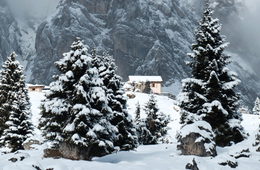
Route: challenging – EE. approx. 400 m elevation gain
Duration: 3 hours
___________________________
Loop route: challenging – EE. approx. 550 m elevation gain
Total hiking time: approximately 6 hours
Map: Sheet 22 Tabacco – Pale di San Martino
From Rifugio Cavallera, take trail 718 heading west toward Forcella d’Oltro. Continue past the pass on the same trail until you reach a junction: the path on the right climbs up to Passo Regade, while our route follows the left-hand path, which descends to Passo Cereda.
Return to rifugio Malga Cavallera (loop route)
The loop option (easy – E, approx. 2.5 additional hours and 550 m of elevation gain) returns to Rifugio Cavallera via the forest road that starts just below Passo Cereda, at the locality of Padreterno. Alternatively, you can take the forest road just above Passo Cereda, which leads east through the woods toward the small church of Santa Rita. In this first section, the route follows a mix of paths and faint tracks with limited signage, so a map and good navigation skills are required.
The route continues, alternating between trail sections and forest roads, following signs first for Mis and then for Domadore. Once in Domadore, you can climb back up to Rifugio Cavallera either via the forest road or by taking the shortcut from Pian de la Forca.
Click here to view the map.